
Faced with unexpected changes to river levels along the mainstream and tributaries throughout the Mekong Basin, people in the Lower Mekong often do not have the time to respond accordingly without proper and timely warning. Sudden river level changes, caused by releases or restrictions of upstream dams or by extreme precipitation events, can often have severe environmental and economic consequences. Decision-makers and impacted communities are increasingly finding it more challenging to address this transboundary issue as it becomes further exacerbated by climate change impacts like more frequent droughts and heavier precipitation. Stakeholders most vulnerable to these impacts must have access to more information that is communicated effectively so well-informed decisions can be made to adapt to environmental and climate changes.
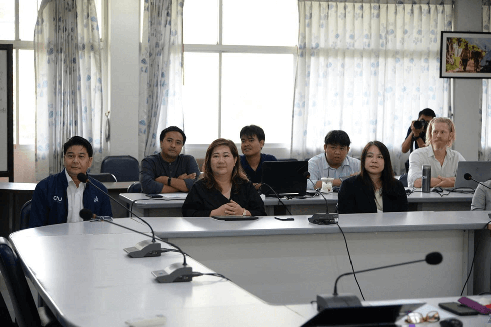
Chiang Mai University professors and students listening to opening remarks on day one.
The need to incorporate more data-driven approaches to monitor and track transboundary issues such as river flows and regional haze was the overarching topic of the Mekong Dam Monitor (MDM) team’s recent trip to Thailand, where we led a weeklong workshop to provide technical and capacity-building training in remote sensing and cloud computing with participants from Chiang Mai University, Mae Fah Luang University, and Chulalongkorn University. Hosted at Chiang Mai University, the workshop centered on how we use remote sensing to process and generate near real-time data on surface wetness, river flow, and dam operations and their impacts on the Mekong Basin. Participants also had hands-on experiences in creating their own river flow models and writing their own script codes to run remote sensing analyses.
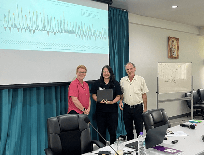
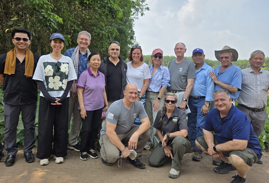
Claire Shields, Department of Interior, and Alan Basist, MDM Co-Lead and President of Eyes on Earth, with the winner of the best river flow model, Assistant Professor Dr. Chanida Suwanprasit.
The workshop was also an opportunity to strengthen MDM localization efforts. The MDM tracks and monitors the entire basin, but there has been a growing interest in narrowing the focus on sub-basins within the Mekong such as the Ing, Kok, and Ruak tributary basins in Thailand’s Chiang Rai and Phayao Provinces. Researchers from Mae Fah Luang University and Chulalongkorn University explored ways to monitor subbasin river systems in northern Thailand to provide downscaled information to local communities living along tributary rivers and subnational governments. We discussed potential collaborative opportunities to develop decentralized information-sharing structures that incorporated community knowledge, earth observation, and institutional data, to inform anticipatory action at the local and provincial level. Coincidentally, this discussion began right as major flash floods hit Thailand’s northern provinces and preceded devastating flooding from Typhoon Yagi.
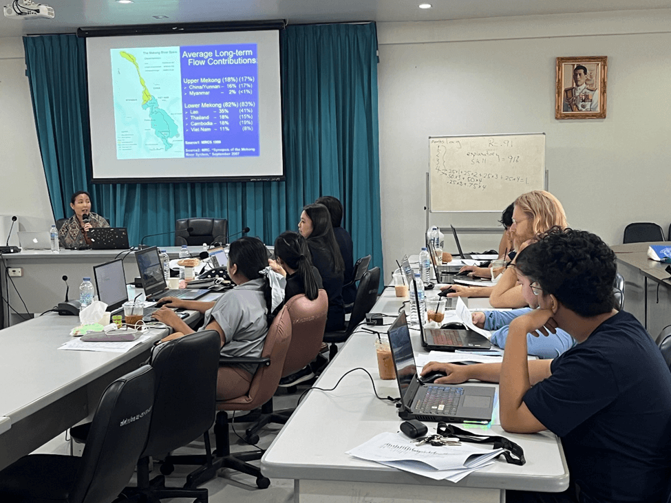
On day three, visiting scholars, like assistant professor Dr. Piyatida Ruangrassamee, presented their research to Chiang Mai University researchers.
The demand for more information and increased accessibility extends beyond dam operations and river system conditions. Many of the workshop’s participants were particularly interested in the use of earth observation to analyze the development and impacts of regional haze. Each year from January to May, Chiang Mai, much like the rest of northern Thailand, faces some of the world’s poorest air quality. Air pollution mixed with intentional agricultural burning and forest fires create a thick haze of harmful aerosols and pollutants, resulting in drastic upticks in health problems. The haze directly impacts those who participated in the workshop, many of whom shared stories of class cancellations, frequent usage of facemasks and air purifiers, and, in extreme but increasingly more common cases, hospitalizations and untimely deaths of colleagues, friends, and family.
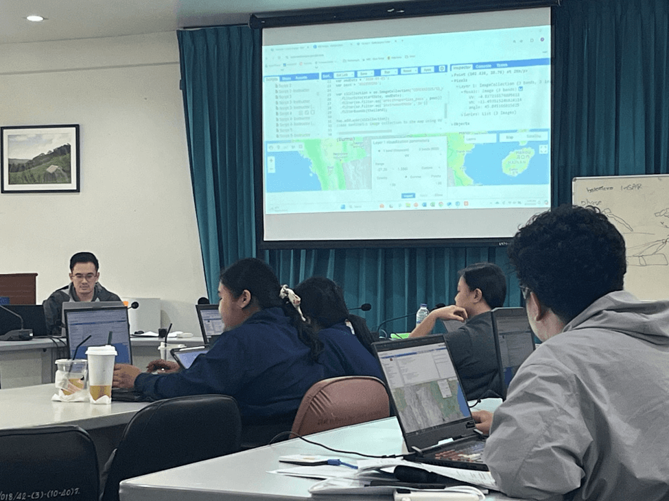
On the last two days, Regan Kwan, research analyst of the Southeast Asia Program, led the workshop on the use of cloud computing for remote sensing.
The workshop showcased research projects outlining the development of haze and its effects on key respiratory health indicators and map dashboard prototypes that provide real-time information on nearby sources of haze. Regional trips like this workshop provide opportunities to closely engage with community members on developing data-driven platforms to inform decision-makers and the public. The MDM team will continue to engage with key partners in the region and look for similar opportunities to work together to provide accessible data and information to communities impacted by natural phenomena, hazards, and potential disasters.


Community Adaptation for a Water Festival Without Clean Water