


Load More
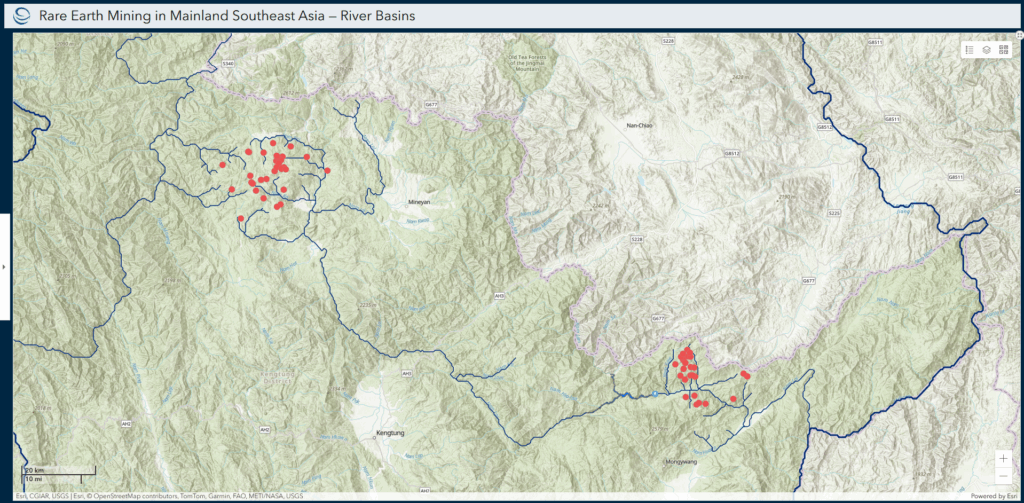


The Suitability Mapper is a mapping tool that allows users to identify suitable areas for infrastructure development based on customized queries. For example, a planner might be interested in developing a solar project in an area but also avoiding building the solar project in an area of high biodiversity. The Mapper’s data are derived from publicly available online sources and have been cleaned and transformed to meet the needs of the suitability widget. Through this tool, the Stimson Center hopes to improve access to GIS research and data transparency, provide analytical components to further strengthen ESG standards, and mitigate future project risks.
Home to more than 100 scholars and global affiliates, the Stimson Center is proud to be a magnet for the world’s leading experts on the most pressing foreign policy and national security issues of our time. Explore our experts and their work.
You can opt out at any time. We respect your privacy and will not sell your personal information. See our privacy policy for more.
Current Geopolitics Shift Deep-Sea Mining Debates